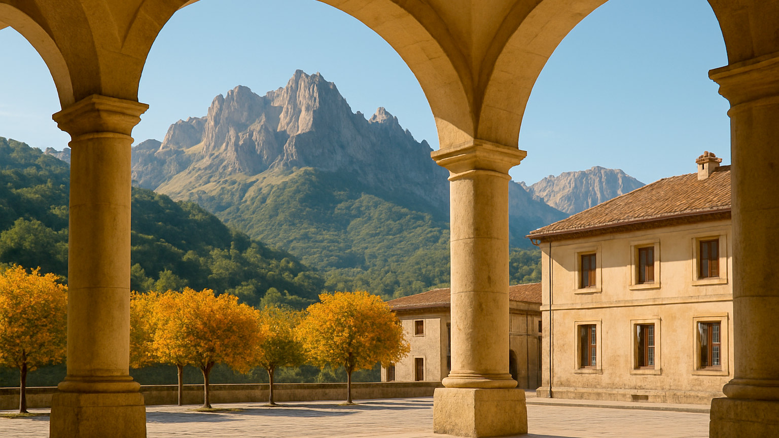
The Picos de Europa run along the border of Asturias, Cantabria and Leon in northern Spain, rising to two and a half thousand metres only about twenty kilometres from the Atlantic. They are limestone, sharp and green, and they look nothing like the Spain most visitors have in mind. Very few foreign travellers go, which is the main argument for going.
What is the Cares gorge?
The best-known walk in the range and one of the finest in Spain. A path cut into the side of a limestone gorge follows an old water channel for twelve kilometres between Cain and Poncebos, with vertical drops to the river below and tunnels through the rock. It is largely flat, takes six or seven hours there and back, and has no shade and no water along it. Most people walk one way and arrange a taxi back.
What is the Fuente De cable car?
A cable car climbing eight hundred metres in four minutes from the valley floor at Fuente De to a rocky plateau at nearly nineteen hundred, where walking routes head off across bare limestone. It is the easiest access to the high ground in the range. Queues in August can be long, so arrive early or book ahead.
What are the Covadonga lakes?
Two glacial lakes on a high pasture above the Covadonga sanctuary, which is the site where the Reconquest is traditionally held to have begun. The road up is narrow and access is restricted in summer and at weekends, when a shuttle bus runs from Cangas de Onis. The walking around the lakes is gentle and the views across the range are the best that are reachable by road.
Where should you base?
Cangas de Onis on the Asturian side for the largest town, with a Roman bridge and good transport, near Covadonga. Arenas de Cabrales for the Cares gorge and the cheese. Potes on the Cantabrian side for a stone town near Fuente De. Each side of the range is a long drive from the other, so pick one rather than trying to cover both.
What should you eat?
Cabrales, a blue cheese matured in mountain caves and among the strongest in Europe, made at Arenas. Fabada, the Asturian bean and pork stew. Cider, which is the regional drink and is poured from a height to aerate it, in dedicated siderias. This is one of the best and least known eating regions in Spain.
When is the best time to visit?
June, July and September. This is green Spain and it rains a great deal, with the Atlantic weather meaning cloud on the peaks is common in any month. August is busy with Spanish holidaymakers and the access restrictions are tightest. Winter brings snow and many high routes close.
Is the coast nearby?
Yes, and it is a large part of the appeal. The Asturian and Cantabrian coasts are around forty minutes away, with cliff-backed beaches, fishing villages such as Llanes and Ribadesella, and the Playa de Gulpiyuri, an inland beach fed by the sea through caves. Combining mountains and coast in the same week is straightforward.
How do you get there?
Asturias, Santander and Bilbao airports all serve the region, with Santander and Bilbao also reachable by ferry from Portsmouth and Plymouth. A car is essential, since the valleys are separated by long mountain roads and bus services are sparse.
How long do you need?
A week, or ten days if you are adding the coast properly. The valleys are separated by slow mountain roads, so covering both the Asturian and Cantabrian sides in a short trip means spending it driving.
Anyone weighing this up will also want Lake Como: Which Town Should You Stay In?, along with the rest of the Destinations section.
The short answer
A week with a car, based at Arenas de Cabrales or Cangas de Onis. Walk the Cares gorge one way with a taxi back, take the Fuente De cable car early, see the Covadonga lakes by shuttle, and finish with a few days on the Asturian coast.